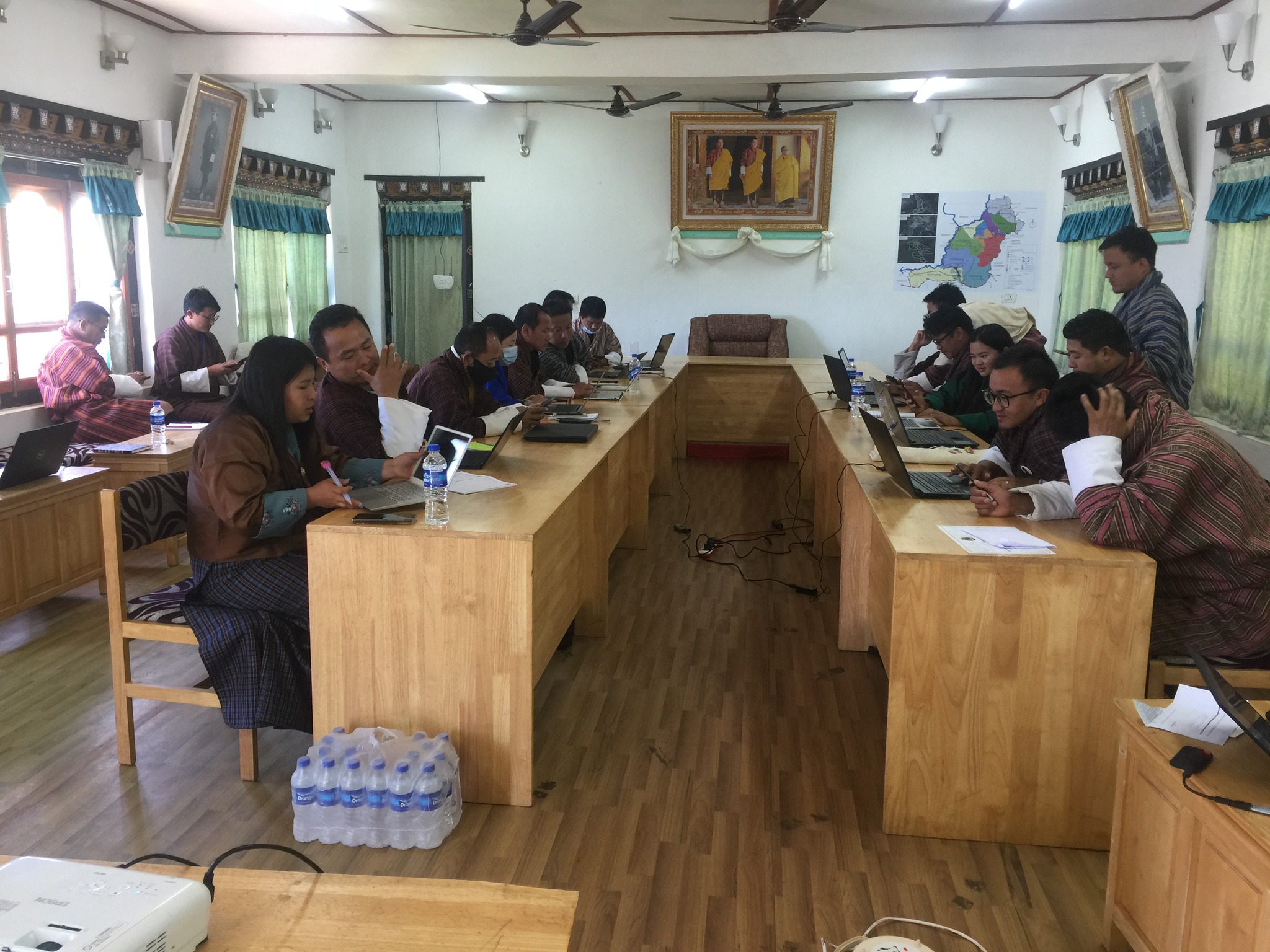
3 days workshop on “Humanitarian Mapping in OpenStreetMaps (OSM) in Pemagatshel Dzongkhag” – 21-23 November 2022

Privacy Policy
This privacy policy is for this website www.dlg.mohca.gov.bt and served by Department of Local Governance, Ministry of Home and Cultural Affairs and governs the privacy of its users who choose to use it.
The Website
This website and its owners take a proactive approach to user privacy and ensure the necessary steps are taken to protect the privacy of its users throughout their visiting experience.
Use of Cookies
This website uses cookies to better the users experience while visiting the website. Where applicable this website uses a cookie control system allowing the user on their first visit to the website to allow or disallow the use of cookies on their computer / device. This complies with recent legislation requirements for websites to obtain explicit consent from users before leaving behind or reading files such as cookies on a user’s computer / device.
External Links
Although this website only looks to include quality, safe and relevant external links, users are
advised adopt a
policy of caution before clicking any external web links mentioned throughout this website.
The owners of this website cannot guarantee or verify the contents of any externally linked website
despite
their best efforts. Users should therefore note they click on external links at their own risk and
this website
and its owners cannot be held liable for any damages or implications caused by visiting any external
links mentioned.
Social Media Platforms
Communication, engagement and actions taken through external social media platforms that this
website and its owners participate on are custom to the terms and conditions as well as the
privacy policies held with each social media platform respectively.
Users are advised to use social media platforms wisely and communicate / engage upon them
with due care and caution in regard to their own privacy and personal details. This website
nor its owners will ever ask for personal or sensitive information through social media platforms
and encourage
users wishing to discuss sensitive details to contact them through primary communication channels
such as by telephone or email.
Disclaimer
The information contained in this website is for general information purposes only. The information is provided by concerned officials and while we endeavor to keep the information up to date and correct, we make no representations or warranties of any kind, express or implied, about the completeness, accuracy, reliability, suitability or availability with respect to the website or the information, products, services, or related graphics contained on the website for any purpose. Any reliance you place on such information is therefore strictly at your own risk.
In no event will we be liable for any loss or damage including without limitation, indirect or consequential loss or damage, or any loss or damage whatsoever arising from loss of data or profits arising out of, or in connection with, the use of this website.
Through this website you are able to link to other websites which are not under the control of Department of Local Governance. We have no control over the nature, content and availability of those sites. The inclusion of any links does not necessarily imply a recommendation or endorse the views expressed within them.
Every effort is made to keep the website up and running smoothly. However, Department of Local Governance takes no responsibility for, and will not be liable for, the website being temporarily unavailable due to technical issues beyond our control.